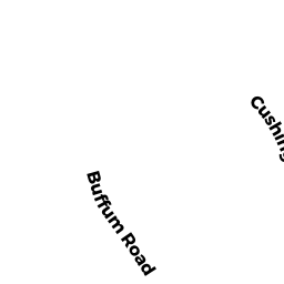
104 CUSHING HILL ROAD
Owner Information
ROWE ROBERT C & LISA B
104 CUSHING HILL ROAD
HANOVER, MA 02339


Property Details
104 CUSHING HILL ROAD is classified as a Single Family Residential (Colonial).
The primary structure on this property was built in 1998. There are 6,116ft2 of built area within this property. There is 3,312ft2 of residential/living space within this property. This property is listed as having 10 rooms.
104 CUSHING HILL ROAD is valued at $836,000. The land is valued at $271,100 and the structures are valued at $554,600. There is an additional valuation of $10,300 on this property.
The most recent deed for 104 CUSHING HILL ROAD is recorded at the local registrar in Book 24934, Page 76. 104 CUSHING HILL ROAD was last sold on Monday, April 28, 2003 for $623,000.
Assessment data from fiscal year 2022.
Flood Data
According to the FEMA National Flood Hazard Layer, this property does not appear to be in a flood zone. It may also be in an area not yet reviewed. Nonetheless, confirm this information prior to taking any action.
To view the flood hazards around this property, create a FEMA "Firmette" Map of the area around 104 CUSHING HILL ROAD.
Broadband Internet Providers
| Provider | Type | Bandwidth (mbps) | |
|---|---|---|---|
| GCI Communication Corp. | Satellite | 0 | 0 |
| HughesNet | Satellite | 25 | 3 |
| Viasat Inc | Satellite | 100 | 3 |
| VSAT Systems, LLC. | Satellite | 2 | 1 |
| Verizon New England Inc. | Fiber | 940 | 880 |
| Comcast | Cable | 1000 | 35 |
| T-Mobile | Fixed Wireless | 25 | 3 |
Broadband service provider data from December 2020.
Adjacent Properties
- 116 CUSHING HILL ROAD
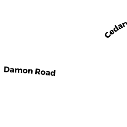
Single Family Residential owned by DRB FAMILY TRUST - 39 DAMON ROAD
Single Family Residential owned by GRANEY MICHAEL J. & MARJORY J TBE - 51 DAMON ROAD
Single Family Residential owned by ORDWAY CHRISTINE REYNHOLDS - 61 DAMON ROAD
Single Family Residential owned by MCNAMARA THOMAS F. & ANNE MARIE - 25 BUFFUM ROAD
Single Family Residential owned by CATALDO GARY W & SUZANNE M